|
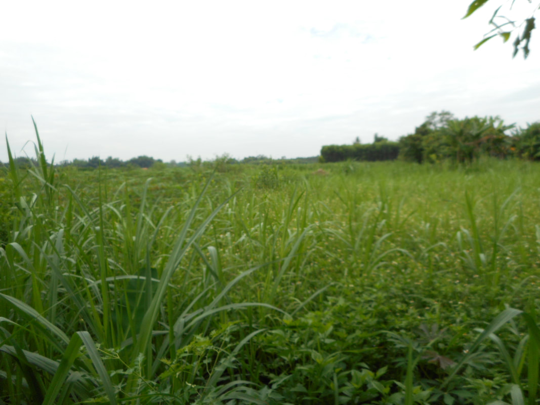
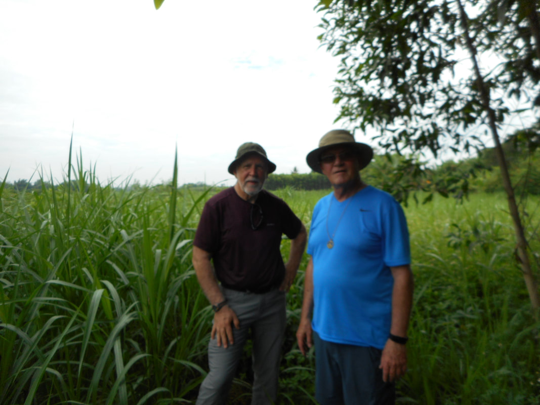
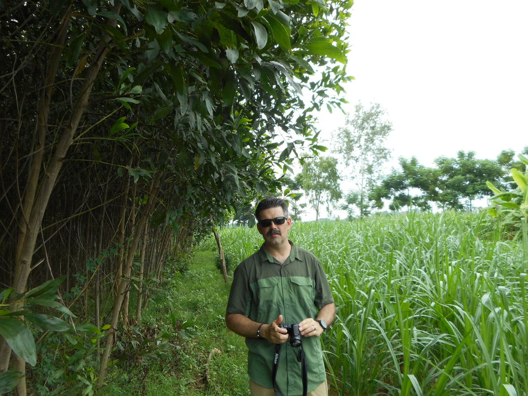
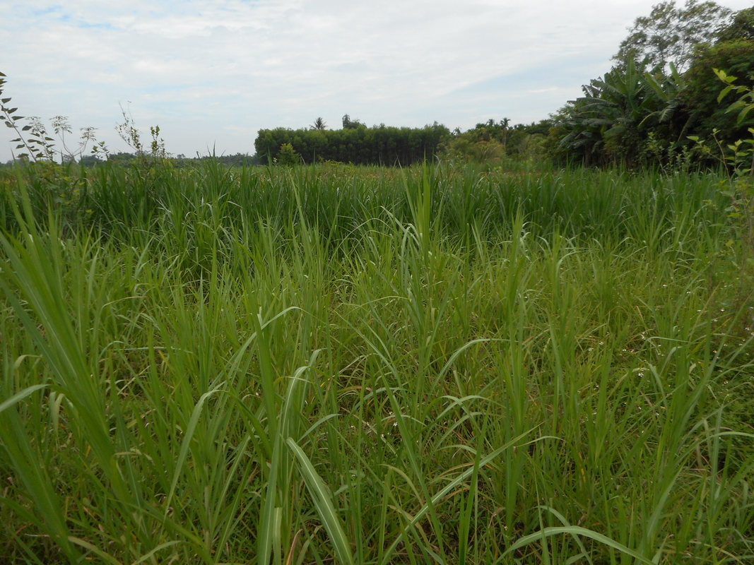
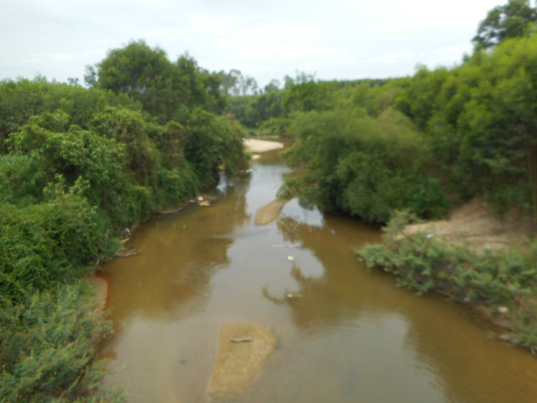
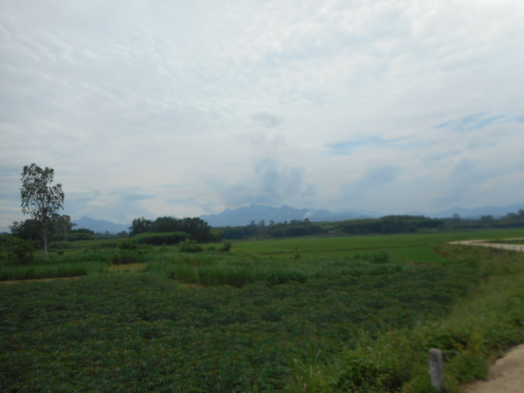
Once leaving the Hill, we headed east to the ambush site of August 15, 1969. Google map has been a lifesaver so far. We had to go down many narrow roads, room for one car, with forest or houses lining the road. It was about a 20-minute drive from the Hill. Once Google Maps said we at the location Mike and I looked at each and acknowledge it didn’t look familiar at all. We got out of the car and walked through a thicket of trees and elephant grass into some farmland. It was overgrown and hard to see, and we couldn’t get close enough to the site. We stopped and started pointing out familiar features we remembered that day. We are pretty sure this was the location. We stood and talked about what happened that day. Anyone that was there and looking at our photographs may have difficulty seeing what we saw. You had to be on the ground. The last stop of the day was the Horseshoe. We stopped at the river and talked about the terrain and mountains that surrounded the horseshoe area. When we left this site, we decided to call it a day and head back home. After the 3 hour drive, we cleaned up and went to find something to eat. Mike led the way and stopped at an outside/open café that served American food. There many Australian and French customers eating, drinking and watching the soccer match. After dinner, it was back to the hotel so we can get to bed early.
0 Comments
Leave a Reply. |
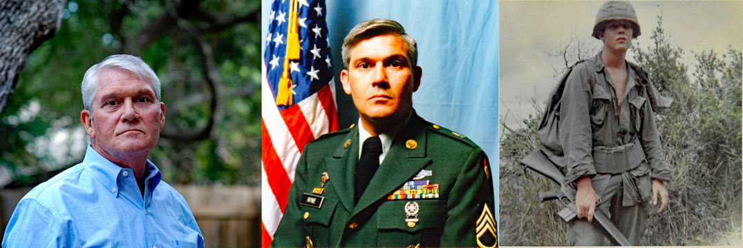
AuthorWhen I Turned Nineteen Soldiering After the Vietnam War Archives
September 2019
Categories |
 RSS Feed